

Advancing Research for Sustainable Marine, Coastal, and Small Island Futures
Home » Geospatial Technology for Small Islands
Discover how geospatial technology empowers small islands. Explore GIS and remote sensing solutions for sustainable development, coastal management, and resilience.
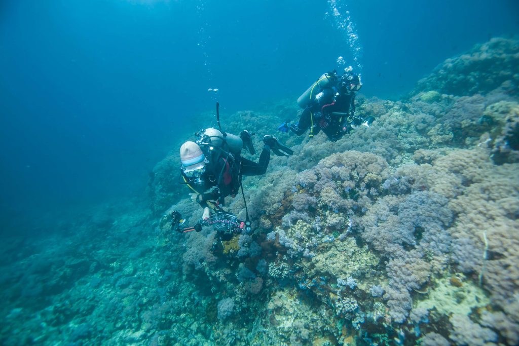
Optimizing Marine Resources We leverage advanced geospatial data to unlock the sustainable potential of the Blue Economy. By utilizing Marine Spatial Planning (MSP), we map critical habitats, fishing zones, and aquaculture sites to balance economic growth with environmental preservation. Our spatial analysis helps stakeholders identify optimal locations for marine tourism and renewable energy projects, ensuring that ocean resources are managed efficiently to boost the local economy without compromising marine ecosystem health.
Building Resilience & Adaptation Small islands are on the frontlines of the global climate crisis. We utilize satellite imagery and remote sensing to monitor environmental indicators such as sea-level rise, coastal erosion, and changing weather patterns in real-time. This geospatial intelligence is crucial for modeling flood risks and developing data-driven adaptation strategies, allowing island communities to anticipate climate impacts and implement necessary infrastructure changes to protect their land and people.
Accelerating Data-Driven Insights By integrating Artificial Intelligence (AI) with geospatial analytics, we transform vast amounts of raw satellite imagery into actionable insights with unprecedented speed and accuracy. Machine learning algorithms allow us to automate the detection of land-cover changes, predict environmental threats, and analyze complex spatial patterns that the human eye might miss. This AI-driven approach enables smarter, faster decision-making for complex island management challenges.
Empowering Locals with Spatial Data Technology is most effective when it is inclusive and accessible. We prioritize Participatory GIS (PGIS) approaches that actively involve local communities in the mapping process, combining traditional local knowledge with modern scientific data. By democratizing access to geospatial information, we empower islanders to participate in planning decisions, report local issues, and take ownership of the sustainable development of their own environment.