Landsat Capability to Mapping of Total Solid Suspended (TSS) and Coastal Ecosystem
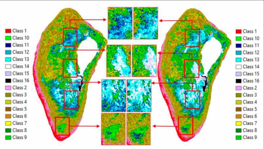
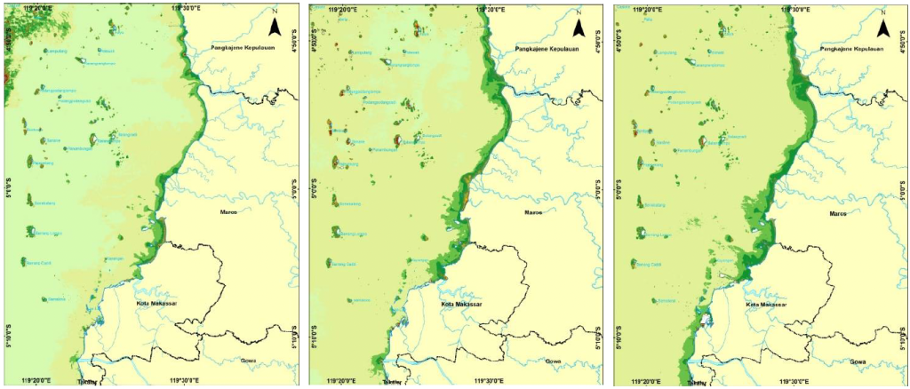
The purpose of this study was to analyze the distribution dynamics and TSS concentrations based on four different seasons and different years for five years. Image processing of TSS included Correction with Dark Object Substraction and Atmospheric correction method, and Syarif Budhiman algorithm used to extract TSS. The image processing of coastal ecosystem was composed
Landsat Capability to Mapping of Total Solid Suspended (TSS) and Coastal Ecosystem Read More »