Author name: Marine Research

Prof. Nurjannah Nurdin

Prof. Dr. Nurjannah Nurdin, ST, M.Si

Publication No Tahun Judul Artikel Ilmiah Nama Jurnal Volume/nomor/ halaman Status Penulis* 1 2025 Seasionality of Kappaphycus alvarezii production trends in South Sulawesi using UAV monitoring Remote Sensing Applications: Society and Environment, Elsevier (Impact Factor: 4.5) Q1 Volume 39. 2025   https://doi.org/10.1016/j.rsase.2025.101659   First Author &  Corresponding Author 2 2025 Variability of Kappaphycus alvarezii cultivation

Prof. Dr. Nurjannah Nurdin, ST, M.Si Read More »
Dr. Syafyudin Yusuf, ST. M.Si.

  Name Dr. Syafyudin Yusuf, ST. M.Si.   Place and Date Born Bima, 19 Juli 1969   Email s.yusuf69@gmail.com   Phone +62-811469220   Office Address Faculty of Marine Science and Fisheries, Hasanuddin University. Perintis Kemerdekaan Street Tamalenrea Complex   Makassar 90245   Home Adress Peternakan Street  No. 5/ B.153  Manggala Makassar City, Indonesia Scientist in :

Dr. Syafyudin Yusuf, ST. M.Si. Read More »

Landsat Capability to Mapping of Total Solid Suspended (TSS) and Coastal Ecosystem

Landsat Capability to Mapping of Total Solid Suspended (TSS) and Coastal Ecosystem

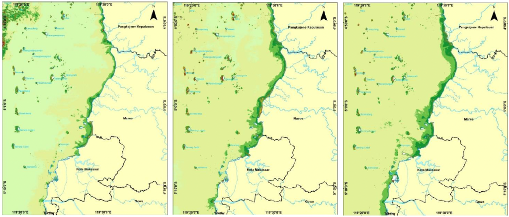
The purpose of this study was to analyze the distribution dynamics and TSS concentrations based on four different seasons and different years for five years. Image processing of TSS included Correction with Dark Object Substraction and Atmospheric correction method, and Syarif Budhiman algorithm used to extract TSS. The image processing of coastal ecosystem was composed

Landsat Capability to Mapping of Total Solid Suspended (TSS) and Coastal Ecosystem Read More »

Satellite Technology Reveals Rising Sediment Threats in Coastal Waters

A scientific study has demonstrated the strong capability of Landsat satellite imagery to monitor Total Suspended Solids (TSS) and coastal ecosystem conditions, offering a powerful tool for managing and protecting vulnerable marine environments. The research focuses on the Spermonde Archipelago, South Sulawesi, an area increasingly affected by sedimentation and coastal pollution. Using multi-temporal Landsat data

Satellite Technology Reveals Rising Sediment Threats in Coastal Waters Read More »

SPOT-6 and Sentinel-2A

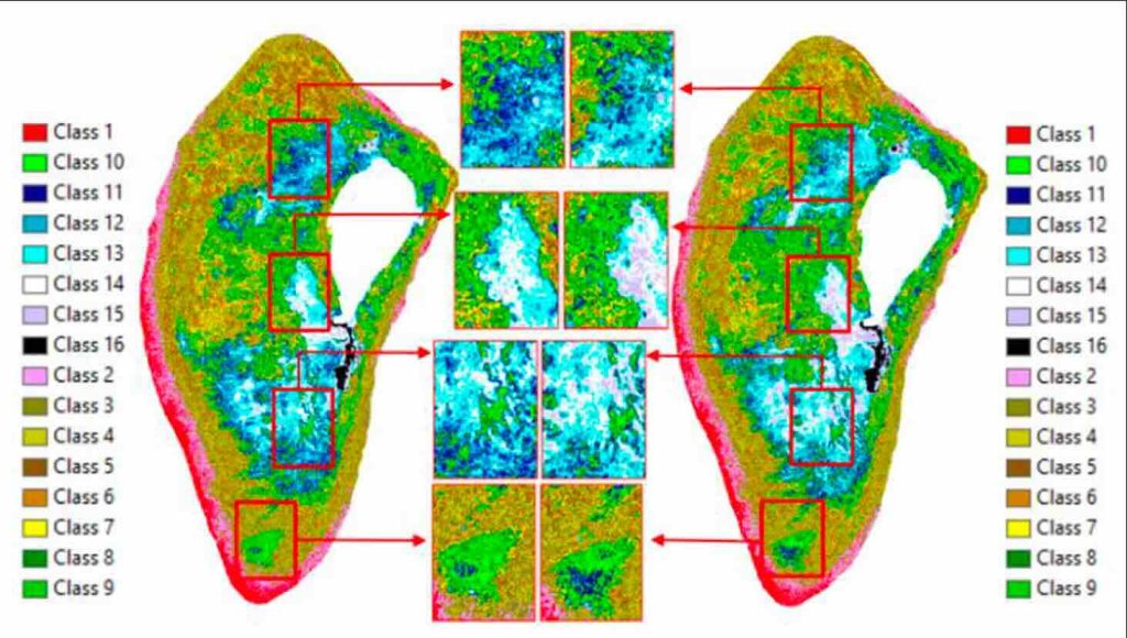
Accuracy of Unsupervised Classification to Determine Coral Health using SPOT-6 and Sentinel-2A

Characteristics of corals spectral from different species are expected to have optically different characters. The aims of this research are to compare unsupervised classification between IsoData and K-Means methods with Lyzenga application, and to analyze the precision of SPOT-6 and Sentinel-2A satellite imagery in classsifying shallow water habitat. The image processing are atmosferic correction, cropping,

Accuracy of Unsupervised Classification to Determine Coral Health using SPOT-6 and Sentinel-2A Read More »

Using Satellite Images to Assess Coral Reef Health in Indonesia

Coral reefs are among the most valuable marine ecosystems in the world, yet they are increasingly threatened by human activities and climate change. To protect these ecosystems, accurate and efficient monitoring methods are essential. A study conducted in the Spermonde Archipelago, South Sulawesi, Indonesia, demonstrates how satellite imagery can be used to assess coral reef

Using Satellite Images to Assess Coral Reef Health in Indonesia Read More »

Simulation-based investigation of the generality of Lyzenga’s multispectral bathymetry formula in Case-1 coral reef water

Lyzenga’s multispectral bathymetry formula has attracted considerable interest due to its simplicity. However, there has been little discussion of the effect that variation in optical conditions and bottom typesdwhich commonly appears in coral reef environmentsdhas on this formula’s results. The present paper evaluates Lyzenga’s multispectral bathymetry formula for a variety of optical conditions and bottom

Simulation-based investigation of the generality of Lyzenga’s multispectral bathymetry formula in Case-1 coral reef water Read More »

Study Confirms the Reliability of Satellite Methods for Mapping Shallow-Water Depth

A study published in Estuarine, Coastal and Shelf Science reveals that Lyzenga’s method, a widely used satellite-based technique for estimating shallow-water depth, remains reliable even in complex coastal environments such as coral reef areas. Using computer-based simulations, the researchers tested the method under a variety of water conditions and seabed types. The results show that

Study Confirms the Reliability of Satellite Methods for Mapping Shallow-Water Depth Read More »